Sea Level Rise: A Field Based Activity
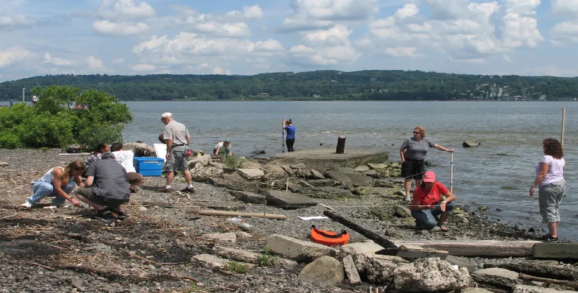
In this activity, students use the science community’s current predictions for sea level rise to map the slope of their field area. They mark how far inland water is predicted to reach as sea level rises, and assess how that flooding might impact habitat, vegetation, and structures made by people. The first part of the activity may take place in the classroom, the second part outside on the shoreline of a tidal water body. Students can then wrap up in the classroom.